


We are on a mission to tackle these critical threats to clean water

learn about our watershed
The Southern end of the Nicoya Peninsula is comprised of 3 districts, Lepanto, Paquera and Cóbano, part of the Province of Puntarenas. The district of Cóbano, where most of our actions are implemented, has an extension of 316.61 km2 with a total population of 7.494 inhabitants. Cóbano is bordered by the Pacific Ocean to the south, east and west, its northern border is the Bongo and Juan de Leon Rivers, separating it from the Districts of Lepanto and Paquera. In the inland mountains of this area lie most of the Peninsula de Nicoya’s most important headwaters that are linked by many rivers all the way to the Pacific Ocean.
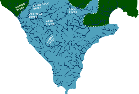
Nicoya Peninsula WATERKEEPER®’s area of jurisdiction extends from the Cabo Blanco Absolute Nature Reserve covering all the coastal streams and marine waters up to the Caletas-Ario National Wildlife Refuge.


learn about our marine ecosystem
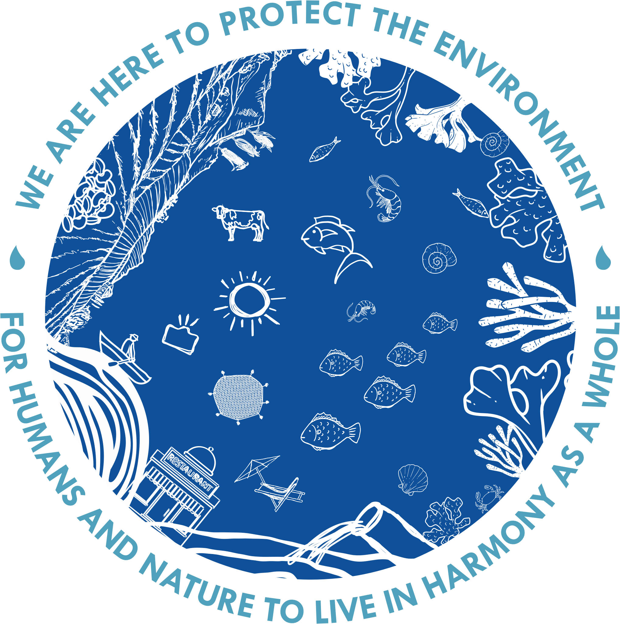
The marine ecosystem is a community where living and non-living things interact. The coastal waters of the South of the Nicoya Peninsula are part of a volcanic ecosystem brimming with rocky reefs, sand, and marine life. Moreover, this ecosystem serves as home, breeding grounds and/or nurseries for a number of visiting and resident species which include small animals, such as: conchs, lobster, shrimp, and blowfish, and bigger ones as white tipped-reef sharks, humpback whales, and giant oceanic manta rays.
This part of the Pacific Ocean is dynamic, this means that its conditions are in constant change. The currents and visibility change day-to-day which is the reason why it is full of diverse life. The ocean's unpredictability makes coastal waters unique allowing for life from all around the seas to come and go following the currents.
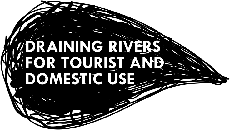
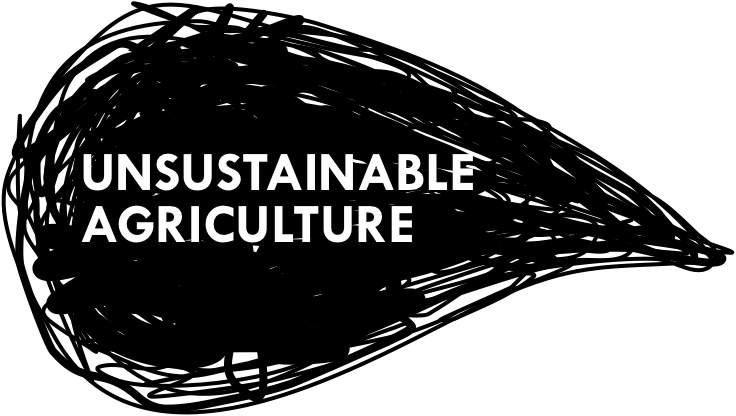
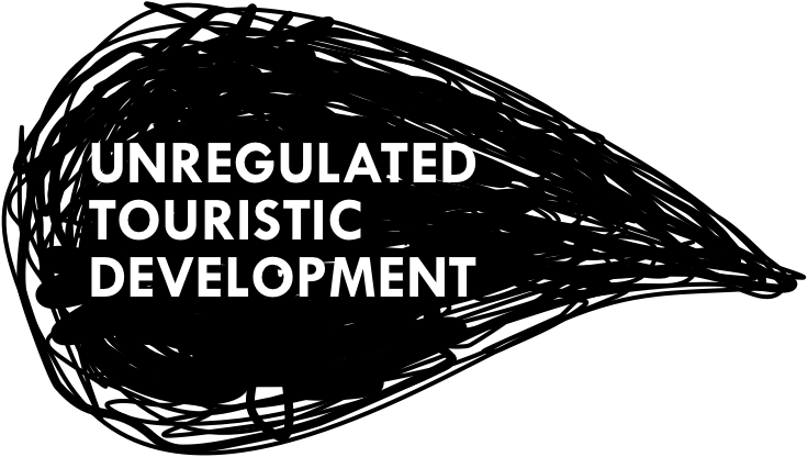
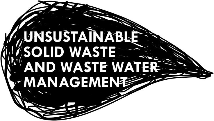
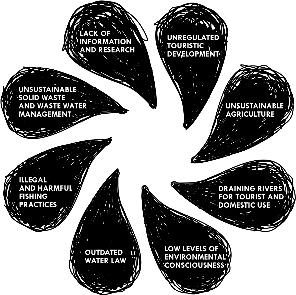
Marine environments are certainly susceptible to human activities. In this case, they suffer from inadequate wastewater management and solid waste deriving from the tourism and residential sectors, silt from erosion of soil due to unsustainable land management. These environments also suffer from inappropriate fishing and agricultural practices. As humans, we must be aware of the consequences of our actions on the ecosystems we are part of.

learn about our history
Traditionally, this area had been characterized by an agrarian lifestyle, secluded and relatively isolated from the rest of the Peninsula. The Bongo and the Ario rivers were the main transportation routes for people and goods, coming down in small boats traditionally known as “bongos” down the rivers and by small ferry boats from the coast to the port of Puntarenas. The Pacific side of the Nicoya Peninsula was colonized in the 1940’s by subsistence slash and burn agriculture primarily of beans and corn and extraction of lumber which prompted a strong deforestation process of the land. Due to limited resources, difficult access to the area and “middle men” which controlled the market for goods, many farmers began to lose their lands due to accumulated debts and by the late 1960’s there was an outmigration by small subsistence farmers to farming areas on the gulf side of the Peninsula with easier access to Puntarenas. Gradually, these middle men amassed larger farms and shifted land uses to cattle ranching farms which spread based on national bank system incentives and credits.
This continued a strong deforestation process inland on steeper slopes and provided limited employment opportunities for locals who were forced to migrate out or dedicate themselves to new activities such as artisanal fishing and offering of daily work. In the mid-1970s, a Government agrarian development expropriated a large cattle ranch and redistributed it to low income families which prompted recolonization of the coastal area from Manzanillo to Mal País. Unfortunately, this area had limited water supply and poor soils which led to a new shift in the direction of the region.Starting in the late 1990s, a new wave of migration has hit the area, this time driven by the tourism industry. This migration has had significant impact in the towns of Manzanillo, Hermosa, Santa Teresa, Carmen and Mal País, where sun, sand, waves and nature have been the magnet for tourists from all over the world. The growth of touristic activity has been uncontrolled as has been the management and use of water.